
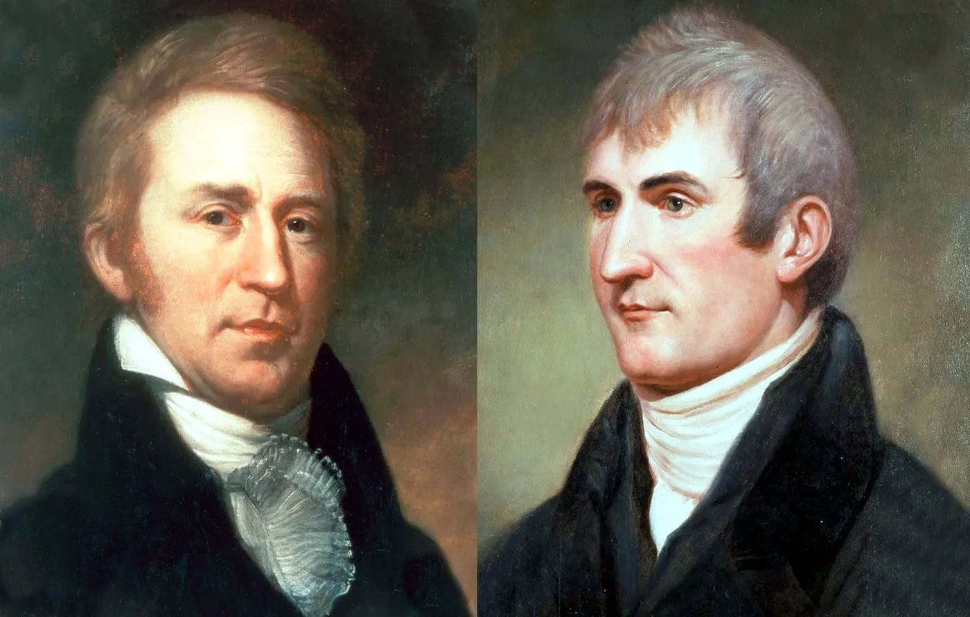
This timeline of Lewis and Clark traces the Corps of Discovery’s journey from its commissioning after the Louisiana Purchase through its return to St. Louis two and a half years later.
Origins: The Louisiana Purchase and Jefferson’s Commission
In 1803, the United States completed the Louisiana Purchase, acquiring roughly 828,000 square miles of French territory west of the Mississippi River and roughly doubling the size of the country. President Thomas Jefferson, who had long been interested in the geography and natural history of the American interior, commissioned his personal secretary, Meriwether Lewis, to lead an expedition to explore the new territory, establish relations with Native American nations, and search for a practical water route to the Pacific: the long-sought “Northwest Passage” that, in the event, did not exist in the form explorers had hoped. Lewis chose William Clark, a former Army officer he had served alongside, as co-leader, and the two assembled a team of roughly three dozen soldiers, boatmen, and other recruits who became known as the Corps of Discovery. Jefferson’s written instructions to Lewis were detailed and wide-ranging, asking the expedition to record the region’s geography, climate, soil, plant and animal life, and to document its relations with the many Native American nations whose territory the party would be passing through, generally without prior authorization from those nations.
Up the Missouri, Across the Mountains, and to the Pacific
The expedition departed its winter staging camp near St. Louis in May 1804 and spent the following months traveling up the Missouri River by keelboat and canoe. As winter approached, the Corps built Fort Mandan in what is now North Dakota and spent several months among the Mandan and Hidatsa peoples, gathering supplies and information about the terrain ahead. It was there that the expedition hired Toussaint Charbonneau, a French-Canadian trapper, as an interpreter, along with his wife Sacagawea, a young Shoshone woman whose knowledge of the region and ability to communicate with Native nations along the route proved valuable, particularly once the party reached Shoshone territory in the Rocky Mountains. In the late summer of 1805, the Corps crossed the Continental Divide and navigated the difficult Bitterroot Mountains, a stretch widely described in expedition journals as among the most physically demanding of the entire journey. From there, the group traveled down the Clearwater, Snake, and Columbia Rivers, reaching the Pacific coast in November 1805 and building Fort Clatsop, near present-day Astoria, Oregon, to shelter through a wet, difficult winter before beginning the journey home.

The Return Journey and the Expedition’s Legacy
In the spring of 1806, the Corps began its return journey east, splitting into smaller parties at points to explore additional routes before reuniting and arriving back in St. Louis in September 1806, a round trip of roughly two and a half years and an estimated 8,000 miles. The expedition brought back detailed maps, journals, and scientific observations describing plant and animal species previously unknown to European-American science, along with an extensive record of interactions with dozens of Native American nations along the route. While the expedition did not find a direct water passage to the Pacific, since none existed, its maps and reports shaped American understanding of the western territories for decades afterward and are still cited today as a foundational record of the era. The expedition’s journals, along with the accounts of contributors like Sacagawea and York (William Clark’s enslaved servant, who also traveled with the party), remain primary sources historians continue to draw on when reconstructing the journey in detail.